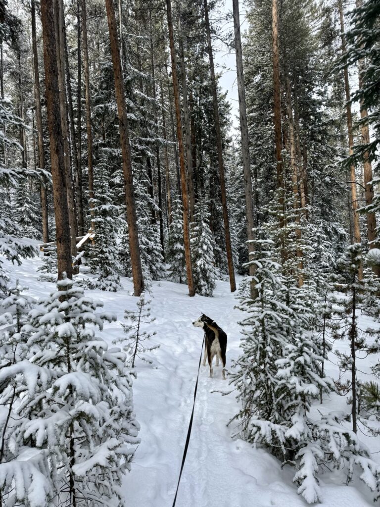
- Morrell Recreation Trail
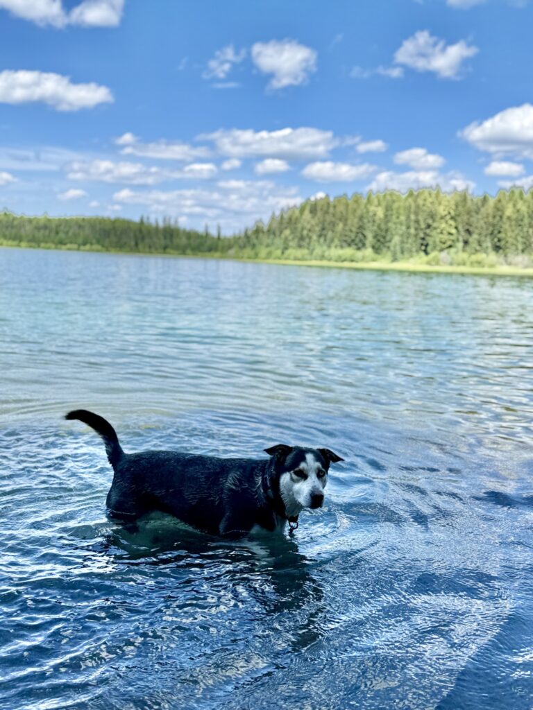
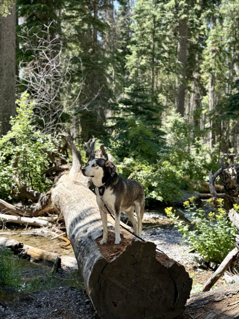
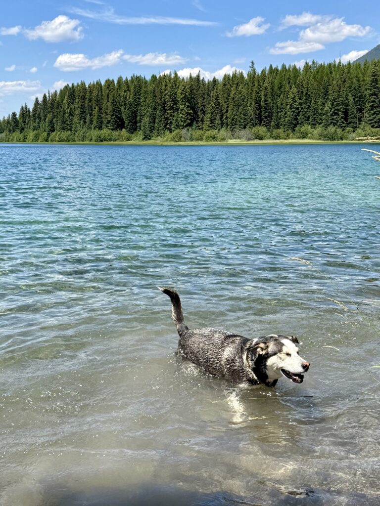
This is a 5.5 mile out and back trail, considered generally easy. There is a seven-mile dirt road to get to the trailhead. Because this portion of forest suffered from a wildfire, the trail is not well shaded at all. I found the trail to still be beautiful, as you could see remnants of the burnt trees above as well as new growth starting below. I found the trail to be excessively dusty: by the time I got back to the car everything I was wearing, my backpack, and my dog were all absolutely covered in dust. This trail was very crowded with other hikers, mountain bikers, and other dogs. The mountain bikers were a bit annoying because the trail is very narrow, and there wasn’t a lot of space for me to “pull over” with my dog to let them pass us. Towards the end of the trail, you will first pass a pond, then Morrell Lake, then end at Morrell Falls. Max swam in all three, though the bottom of the pond was like a quicksand/muck and made me nervous for Max to walk through. I was waiting for it to just suck him right in. The lake is much cleaner. At the waterfall, I got to witness a proposal! There were lots of other dogs at the waterfall that Max was able to play with. This trail is not particularly difficult, just long and hot in the July sun. Only a few minutes from this trail is Salmon Lake State Park. Since Max and I were covered head to toe in dust from the trail, we pulled into the state park and took a swim in the lake to cool off and rinse off. I highly recommend this!
2. Clearwater Lake Trail
This trail is an easy 0.7 mile out and back to the lake but also has a two-mile trail around the perimeter of Clearwater Lake. There is a seven-mile dirt road to get to the trailhead. The trail to get to the lake is very obvious and well taken care of. However, the trail around the lake is very overgrown and in one spot became confusing to follow, but we somehow veered off the trail and found our way back quickly.
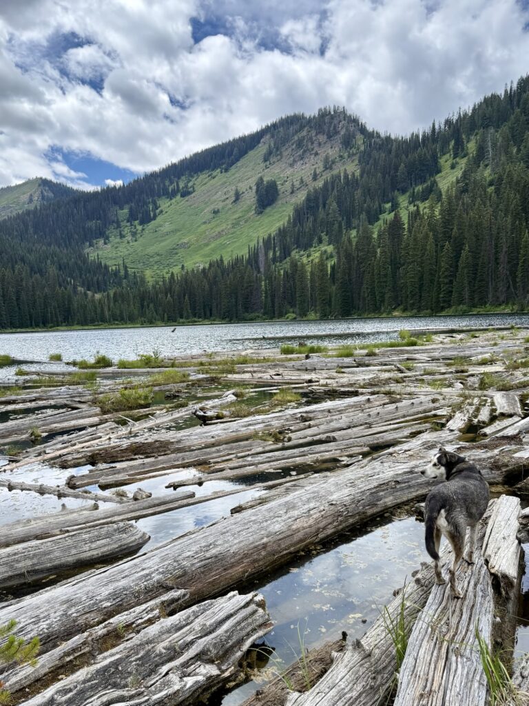
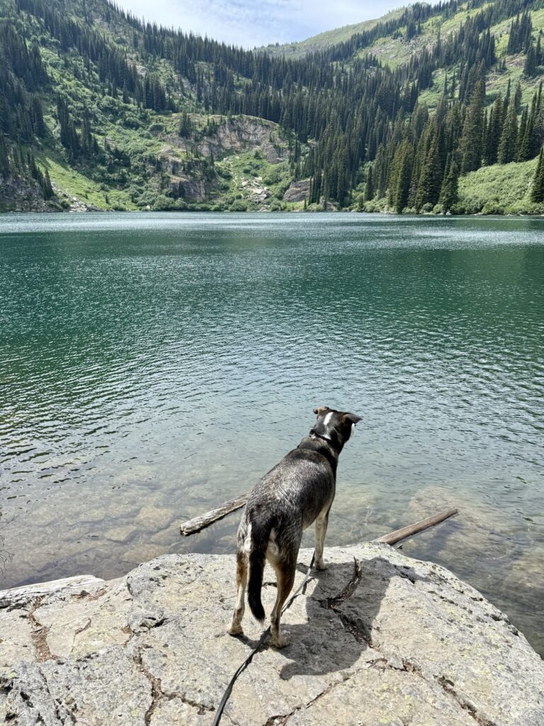
3. Diamond and Cliff Lake Trail
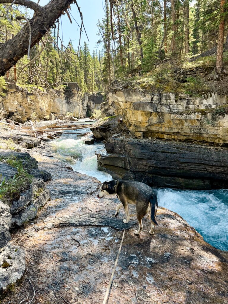
This 2.8 mile out and back trail will take you to two different lakes. First, there is a fourteen-mile dirt road to get to the trailhead. The last four miles of the dirt road is very slow going and filled with large potholes. When you pull into the trailhead parking area, you will see Diamond Lake in front of you to the left-hand side. You can follow the path to go check out the lake, then return to the parking area where you will cross a small bridge over a waterfall to begin the trail to Cliff Lake. The trail to the second lake is a gradual, steady incline. It really wasn’t too bad. My favorite part was walking across the rolling hills that were filled shoulder high with wildflowers. When we got to Cliff Lake, we were the only ones there. The hike back down to Diamond Lake/the parking area is easy and lovely. Max and I both really enjoyed this trail.
4. Oregon Lakes Trail
This is a 2.2 mile out and back trail near Superior. The trail, for some reason, is not listed on the All Trails app. There is a twenty-mile dirt road (Cedar Creek Road) to the trailhead. Just after seeing the 20-mile marker on Cedar Creek Road, you will see two large brown signs on the left-hand side of the road. One of those signs points left and says Trail #109. You will turn left at this sign down a pothole filled dirt road. Half a mile down the road you will reach the trailhead. A few steps into the trail, you will see a sign pointing towards Lower and Upper Oregon Lakes. This may be a short hike, but it is hard. You will ascend some switchbacks for a half mile up to Lower Oregon Lake and the trail is quite steep. I was on my toes climbing up at one point. I found it to be quite difficult. Once you reach Lower Oregon Lake, you will stay to the right and follow the lake counterclockwise to continue on the trail to the second lake. The trail wraps around the lower lake, which is pleasant, but then quickly becomes a very sharp incline upwards to the second lake. Max enjoyed swimming in both lakes, but was exhausted after this hike even though it was short because of the very steep and difficult inclines.